Using Maps in Any Subject
These are just a few ways to integrate maps into the classroom. Have another idea? Please add it to the Maps in Education document.
Art
Create maps of different art pieces or artists and analyze how location may have influenced or is reflected in the artwork.
English
Lit Trips
"Google Lit Trips... mark the journeys of characters from famous literature on the surface of Google Earth. At each location...[there are] a variety of resources including relevant media, thought provoking discussion starters, and links to supplementary information about “real world” references made in that particular portion of the story. The focus is on creating engaging and relevant literary experiences for students." - Jerome Burg at Google Lit Trips
Real Fiction Analysis
Have students map fictional locations to possible equivalents in the real world, based on what they can infer about the environment, culture, language, etc. Example: His Dark Materials: Northern Lights on Earth
See also: Novels on Location

Math
Geometry & Scale
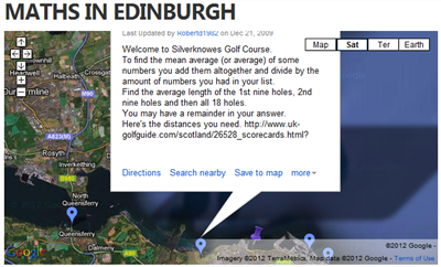
Measure shapes or paths on a map and figure the actual distance/area.
Number Sense
Count number of objects in a given space (e.g. houses on a block); compare number of objects in different areas (e.g. houses on a block in a suburb vs. rural area) by calculating percentages, averages, medians, etc.
See also:
Physical Education
Have students calculate the distance of an activity, e.g. a run around the school, and then use the distance to calculate potential steps taken or calories burned.
Science
Earth Science
Use this Google Maps Mashup to locate and learn about recent earthquakes around the world.
Use sattelite images to to view land masses, climate regions, etc.
Have students map distribution of tree species using GPS-enabled devices
Physics
Mapping bus routes to teach distance and speed. See Bus Routes Help Teach Physics
See also: Science-base Maps
Social Studies
Take virtual tours of faraway places, including inside famous landmarks like The White House, using Google Street View.
View historical pictures in context, laid over a current view of the same location, using History Pin.
Have students use Animaps to map historical movements or trends over time,
Use map mashups like Trendsmap and Newspaper Map to follow current events by location.
Compare and contrast the urban planning of cities around the world.
| If you get stuck on any task, please post your questions to the Discussion Forum. |